 Cart(
Cart(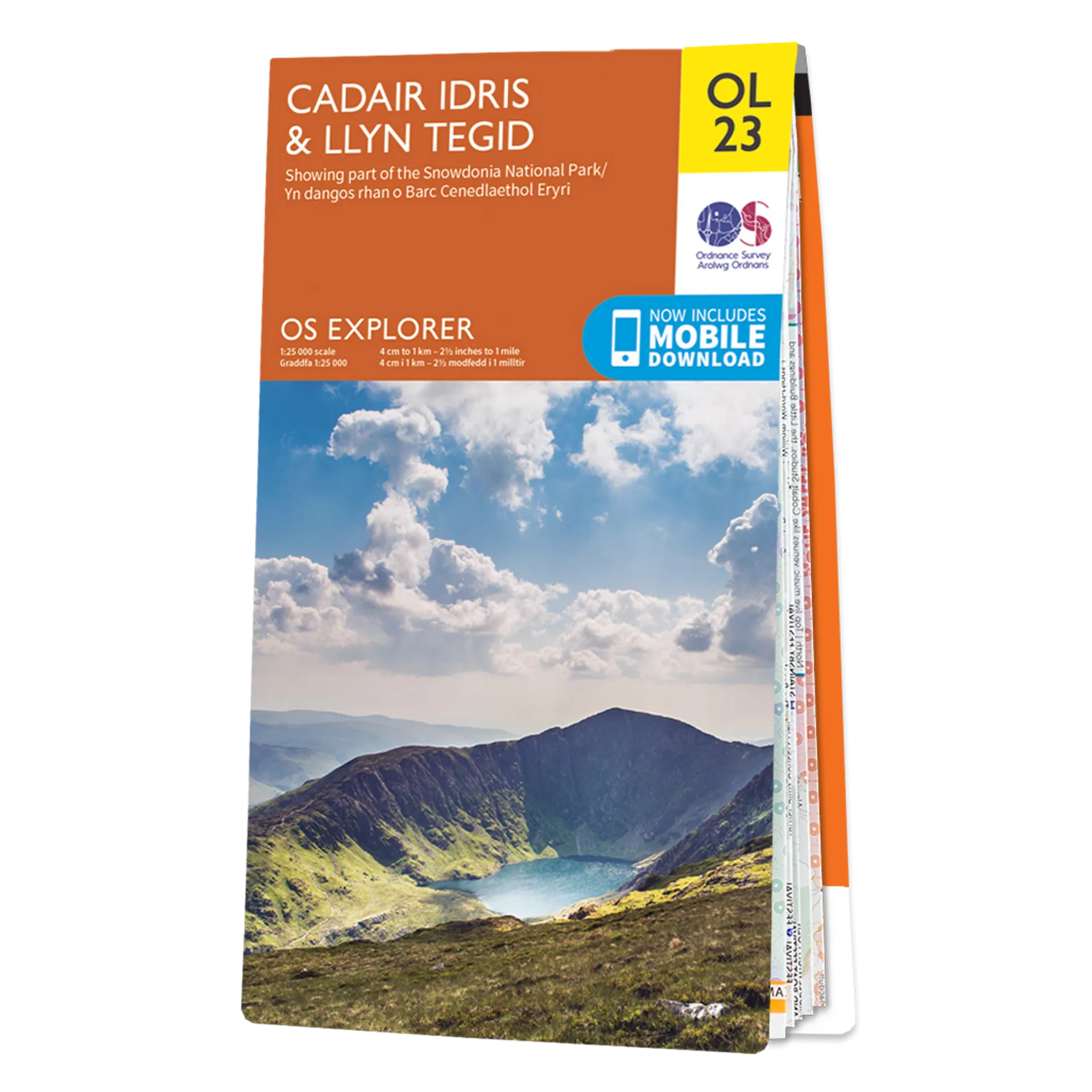
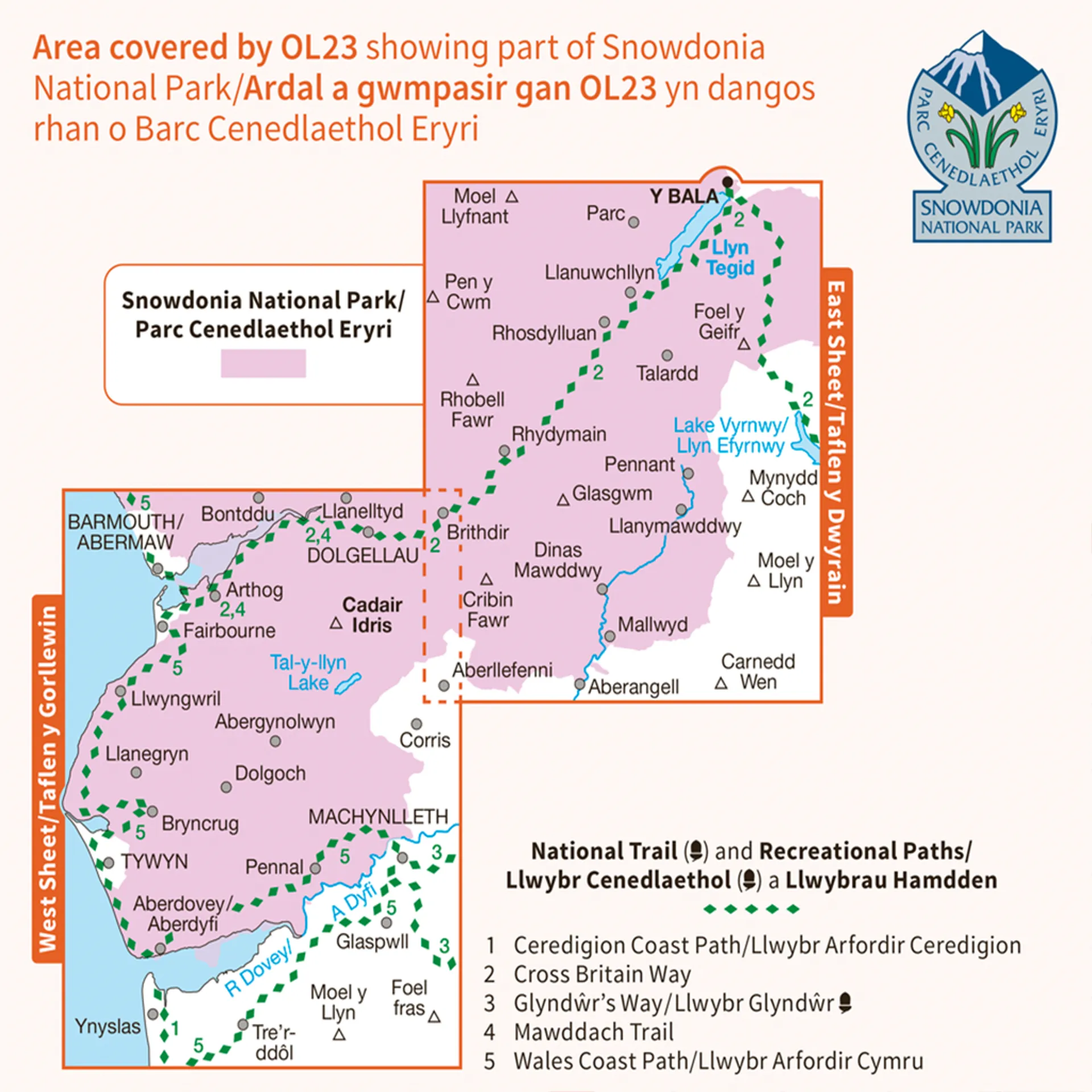
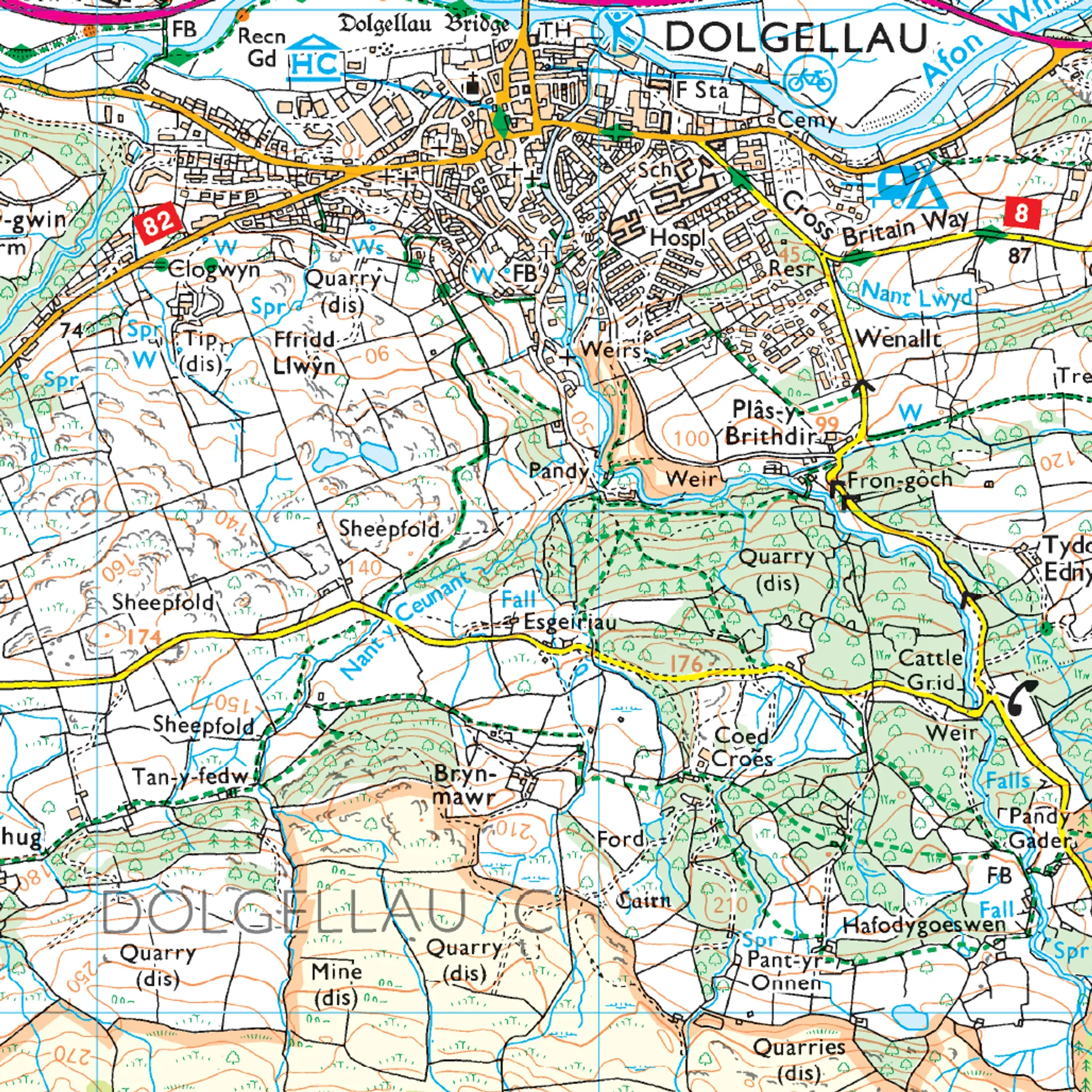
Ordnance Survey Explorer OL23 Map Cadair Idris & Llyn Tegid (Bala Lake)
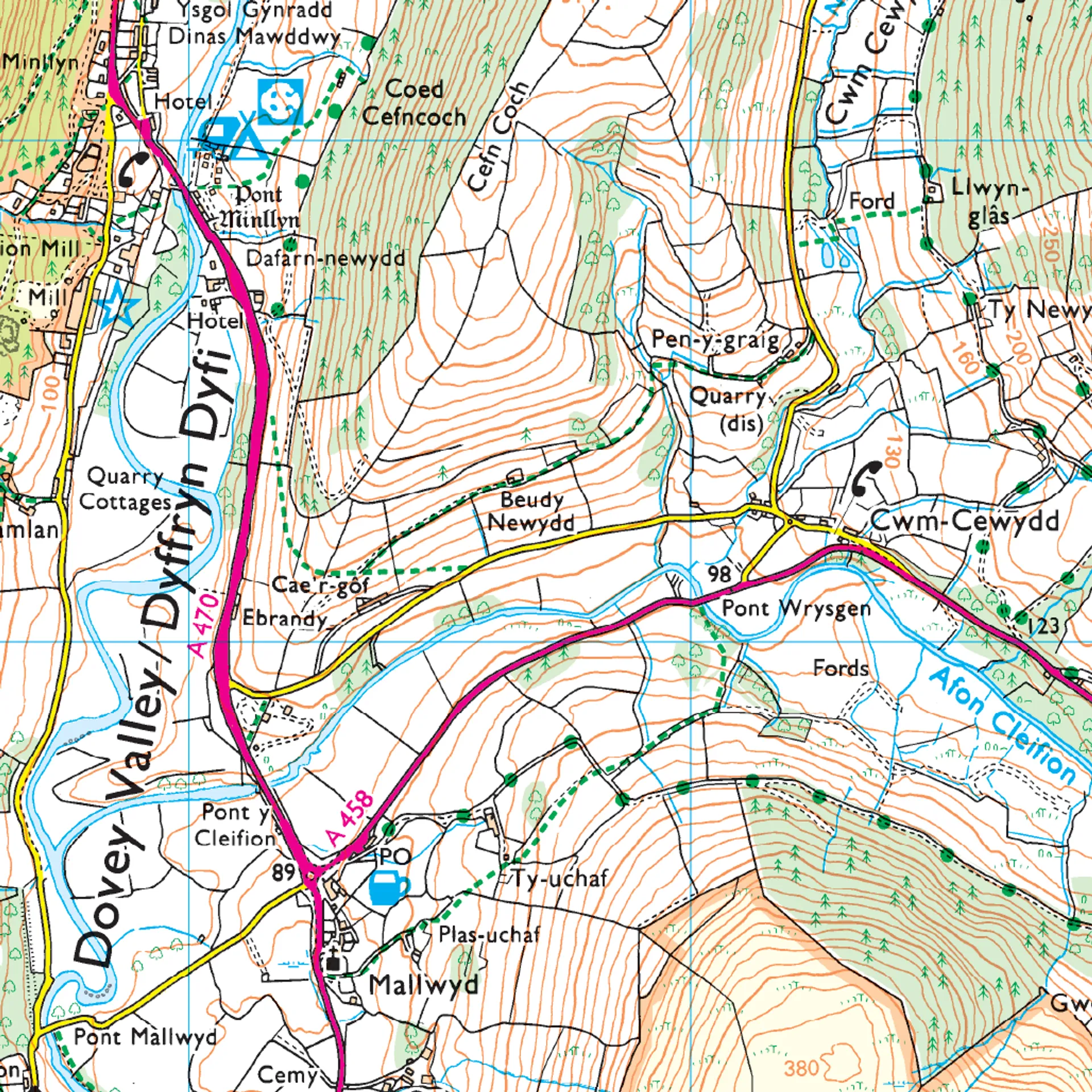
This Ordnance Survey Explorer OL23 Map is ideal for walkers, climbers, horse riding, and off-road cycling with its detailed paper folded map. Whether you're exploring, Cadair Idris & Llyn Tegid (Bala Lake),Minfford Path, Talyllyn lake, Llyn Tegid, Dol Idres, you'll have all the information you need at your fingertips. Rights of way, fences, permissive paths and bridleways are clearly shown, ensuring you have the best information to get the most out of your time in the countryside. Perfect for outdoor enthusiasts.
This map now comes with a digital version which you can download to your smartphone or tablet.
The OS Explorer OL23 map, Cadair Idris & Llyn Tegid, Showing Parts of Snowdonia National Park. Other highlights of this map include: Minfford Path, Talyllyn lake, Llyn Tegid, Dol Idres, and 8000 year old oak woods.
Featuring:
- Glyndwr's Way (National Trail)
- Dolgellau
- Machynlleth
- Y Bala
- Snowdonia National Park
- Dyfed
- Powys
- Gwynedd
- 1:25 000 scale (4 cm to 1 km – 2.5 inches to 1 mile)


")


